
Dosiero:Austria Styria adm location map.svg

Bildo en pli alta difino (SVG-dosiero, 1 199 × 852 rastrumeroj, grandeco de dosiero: 637 KB)
| Jen dosiero de la Wikimedia-Komunejo. La priskribo en ties priskriba paĝo estas montrata suben.
|
Resumo
| Priskribo |
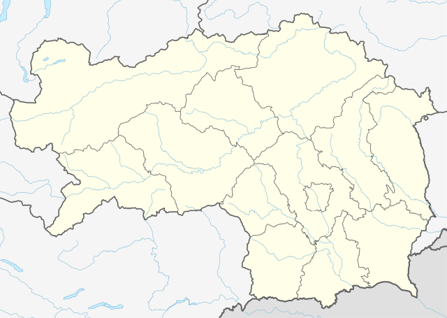
Deutsch: Positionskarte der Steiermark, Österreich
English: Location map of Styria, Austria
|
||||||||||||
| Dato | |||||||||||||
| Fonto |
Own work using:
|
||||||||||||
| Aŭtoro | NordNordWest | ||||||||||||
| Ceteraj versioj |
|
||||||||||||
| SVG genesis | Ĉi tiu dosiero estas kreita per Adobe Illustrator.
|
||||||||||||
_adm_location_map.svg)

Permesiloj:
Usage of this file with:

explanatory notes: Legally binding is only the full legalcode. For a free usage I recommend to respect the following licence conditions:
1. Provide my name as given above: NordNordWest,
2. a copy of, or the URI for, the applicable license: https://creativecommons.org/licenses/by-sa/3.0/de/legalcode,
3. the title of the work,
4. in the case of an adaptation, a credit identifying the use of the work in the adaptation.
This license and the rights granted hereunder will terminate automatically upon any breach by you of the terms of this license. Any of the above conditions can be waived if you get permission from the copyright holder. If you have questions or wish differing conditions, please contact me through nnwest or my discussion page ![]() t-online.de
t-online.de
- Vi rajtas:
- kunhavigi – kopii, distribui kaj publikigi la verkon
- aliigi – modifi, adapti, kompletigi, transformi, uzi la tutan verkon aŭ ties partojn, memstare aŭ en aliaj verkoj
- La verko rajtas esti kunhavigata nur:
- atribuite – Vi devas atribui aŭtorecon, liveri ligilon al la permesilo kaj marki ĉu ŝanĝoj estis faritaj. Faru tion en aprobinda maniero, tamen ne sugestante, ke permesinto aprobas vin aŭ vian uzon.
- samkondiĉe – Se vi rekombinas la verkon, transformas ĝin aŭ kreas devenaĵon bazitan sur ĝi, vi rajtas distribui la rezultan verkon nur laŭ la sama aŭ kongrua permesilo kompare kun ĉi tiu.

Dosierhistorio
Alklaku iun daton kaj horon por vidi kiel la dosiero tiam aspektis.
| Dato/Horo | Bildeto | Grandecoj | Uzanto | Komento | |
|---|---|---|---|---|---|
| nun | 15:46, 30 dec. 2019 | | 1 199 × 852 (637 KB) | NordNordWest | upd |
| 12:20, 1 jan. 2015 |  | 1 199 × 852 (626 KB) | NordNordWest | == {{int:filedesc}} == {{Information |Description= {{de|1=Positionskarte der Steiermark, Österreich}} {{en|1=Location map of Styria, Austria}} {{Location map series N |stretching=– |top=47.8849333 |bottom=46.57305 |left=13.5085305 |right=16.2235138... |
Dosiera uzado
La jenaj paĝoj ligas al ĉi tiu dosiero:
- Allerheiligen bei Wildon
- Arnfels
- Ehrenhausen an der Weinstraße
- Empersdorf
- Gabersdorf (Stirio)
- Gamlitz
- Gleinstätten
- Gralla
- Graz
- Großklein
- Heiligenkreuz am Waasen
- Heimschuh
- Hengsberg
- Kitzeck im Sausal
- Lang (Stirio)
- Lebring-Sankt Margarethen
- Leibnitz
- Leutschach an der Weinstraße
- Oberhaag
- Ragnitz
- Sankt Andrä-Höch
- Sankt Georgen an der Stiefing
- Sankt Johann im Saggautal
- Sankt Nikolai im Sausal
- Sankt Veit (Stirio)
- Schwarzautal
- Straß (Stirio)
- Tillmitsch
- Voitsberg
- Wagna
- Wildon
- Wundschuh
- Ŝablono:Situo sur mapo Aŭstrio Stirio
Suma uzado de la dosiero
La jenaj aliaj vikioj utiligas ĉi tiun dosieron:
- Uzado en de.wikipedia.org
- Heilbrunn (Gemeinde Anger)
- Flughafen Graz
- Frauenmauerhöhle
- Katerloch
- Schwarzmooskogel-Höhlensystem
- Gruabn
- Grasslhöhle
- Hüttstatthöhle
- Franz-Fekete-Stadion
- DÖF-Sonnenleiter-Höhlensystem
- Grubstein-Westwandhöhle
- Merkur Arena (Graz)
- Tierwelt Herberstein
- Südwandhöhle
- Benutzer:Tigerente/Baustelle
- Shopping City Seiersberg
- Eisstadion Graz-Liebenau
- Ski amadé
- Rettenwandhöhle
- Kraushöhle
- Drachenhöhle bei Mixnitz
- Odelsteinhöhle
- Badlhöhle
- Lurgrotte
- Repolusthöhle
- Dampfkraftwerk Voitsberg
- Schönberg-Höhlensystem
- Sportzentrum Zeltweg
- Panoramastadion (Bad Aussee)
- Wassermannsloch
- KLH-Arena
- Tauernwindpark
- Leoben City Shopping
- Vorlage:Positionskarte Österreich Steiermark
- Räuberhöhle (Spital am Semmering)
- Profertil Arena Hartberg
- Skigebiet Dachsteingletscher
- Krankenhaus der Elisabethinen Graz
- Einkaufszentrum Murpark
- Böhler Bleche
- Sportstadion Marktgemeinde Gratkorn
- Dekanat Graz-Mitte
- Dekanat Graz-Nord
- Fernheizkraftwerk Neudorf-Werndorf
- Flugplatz Fürstenfeld
- Flugplatz Niederöblarn
- Rechenbrücke
- Österreichische Fußballmeisterschaft 2012/13
- Gas- und Dampfkraftwerk Mellach
Vidi plian ĝeneralan uzadon de ĉi tiu dosiero.