
Dosiero:Bremen location map.svg

Grando de tiu PNG antaŭprezento de tiu SVGa dosiero: 441 × 600 rastrumeroj. Aliaj distingivoj: 176 × 240 rastrumeroj | 353 × 480 rastrumeroj | 565 × 768 rastrumeroj | 753 × 1 024 rastrumeroj | 1 506 × 2 048 rastrumeroj | 492 × 669 rastrumeroj.
Bildo en pli alta difino (SVG-dosiero, 492 × 669 rastrumeroj, grandeco de dosiero: 364 KB)
| Jen dosiero de la Wikimedia-Komunejo. La priskribo en ties priskriba paĝo estas montrata suben.
|
Resumo
| Priskribo |
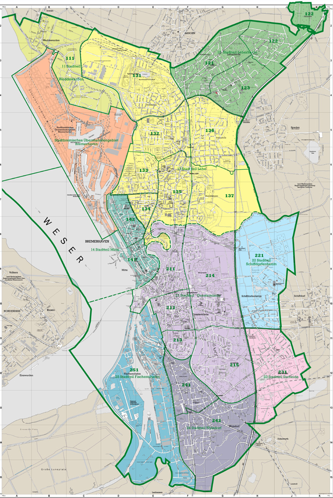
Deutsch: Positionskarte Bremen, Germany. Geographische Begrenzung der Karte:
English: Location map Bremen, Germany. Geographic limits of the map:
|
| Dato | |
| Fonto | own work, based upon File:Lower Saxony location map.svg and de:Datei:Datei:Bremen-Bezirk-Sued.png and Denkmalpflege Bremen: Bremerhaven |
| Aŭtoro | TUBS |
| Ceteraj versioj |
|

_location_map.svg)
Permesiloj:
Mi, la posedanto de la aŭtorrajto por ĉi tiu verko, ĉi-maniere publikigas ĝin laŭ la jenaj permesiloj:

|
Estas permesite kopii, disdoni kaj/aŭ redakti ĉi tiun dokumenton, sen senŝanĝaj sekcioj, sen antaŭkovrilaj kaj sen dorskovrilaj tekstoj, laŭ la kondiĉoj de la Permesilo GNU por Liberaj Dokumentoj, Versio 1.2 aŭ ajna pli nova versio eldonita de la Free Software Foundation; sen Senŝanĝaj Sekcioj, Antaŭovrilaj Tekstoj aŭ Malantaŭkovrilaj Tekstoj. Kopio de la permesilo estas inkluzivita en la sekcio titolita GNU Free Documentation License. |
Ĉi tiu dosiero estas disponebla laŭ la permesiloj Krea Komunaĵo Atribuite-Samkondiĉe 3.0 Neadaptita, 2.5 Ĝenerala, 2.0 Ĝenerala kaj 1.0 Ĝenerala.
- Vi rajtas:
- kunhavigi – kopii, distribui kaj publikigi la verkon
- aliigi – modifi, adapti, kompletigi, transformi, uzi la tutan verkon aŭ ties partojn, memstare aŭ en aliaj verkoj
- La verko rajtas esti kunhavigata nur:
- atribuite – Vi devas atribui aŭtorecon, liveri ligilon al la permesilo kaj marki ĉu ŝanĝoj estis faritaj. Faru tion en aprobinda maniero, tamen ne sugestante, ke permesinto aprobas vin aŭ vian uzon.
- samkondiĉe – Se vi rekombinas la verkon, transformas ĝin aŭ kreas devenaĵon bazitan sur ĝi, vi rajtas distribui la rezultan verkon nur laŭ la sama aŭ kongrua permesilo kompare kun ĉi tiu.
Vi povas elekti la permesilon preferatan.
Dosierhistorio
Alklaku iun daton kaj horon por vidi kiel la dosiero tiam aspektis.
| Dato/Horo | Bildeto | Grandecoj | Uzanto | Komento | |
|---|---|---|---|---|---|
| nun | 12:43, 20 jan. 2010 | | 492 × 669 (364 KB) | TUBS | korr wg. de:Luneplate |
| 12:24, 17 mar. 2009 |  | 492 × 669 (232 KB) | TUBS | Weserinseln zu NI | |
| 12:09, 17 mar. 2009 |  | 492 × 669 (232 KB) | TUBS | added Stadtbremische Brememerhaven area and its border | |
| 11:44, 26 jan. 2009 |  | 492 × 669 (231 KB) | TUBS | {{Information |Description= |Source= |Date= |Author= |Permission= |other_versions= }} | |
| 22:59, 25 jan. 2009 |  | 206 × 280 (222 KB) | TUBS | == Summary == {{Information |Description= {{de|Positionskarte Nordrhein-Westfalen, Germany. Geographische Begrenzung der Karte:}} {{en|Location map North Rhine-Westphalia, Germany. Geographic li | |
| 22:39, 25 jan. 2009 |  | 206 × 280 (222 KB) | TUBS | == Summary == {{Information |Description= {{de|Positionskarte Nordrhein-Westfalen, Germany. Geographische Begrenzung der Karte:}} {{en|Location map North Rhine-Westphalia, Germany. Geographic li | |
| 22:28, 25 jan. 2009 |  | 1 424 × 1 203 (222 KB) | TUBS | == Summary == {{Information |Description= {{de|Positionskarte Nordrhein-Westfalen, Germany. Geographische Begrenzung der Karte:}} {{en|Location map North Rhine-Westphalia, Germany. Geographic li |
Dosiera uzado
La jenaj paĝoj ligas al ĉi tiu dosiero:
Suma uzado de la dosiero
La jenaj aliaj vikioj utiligas ĉi tiun dosieron:
- Uzado en ar.wikipedia.org
- Uzado en ba.wikipedia.org
- Uzado en bg.wikipedia.org
- Uzado en ceb.wikipedia.org
- Uzado en da.wikipedia.org
- Uzado en de.wikipedia.org
- Weserstadion
- Flughafen Bremen
- Universum Bremen
- Stadthalle Bremen
- Kraftwerk Bremen-Hafen
- Verkehrslandeplatz Bremerhaven-Luneort
- Kraftwerk Mittelsbüren
- Weserpark
- Leuchtturm Bremerhaven
- Klinikum Bremerhaven
- Benutzer:Spischot/Sketchpad 3
- Klinikum Links der Weser
- Eisstadion Bremerhaven
- Weserstadion Platz 11
- Atlantic Hotel Sail City
- Weser Tower
- Kraftwerk Bremen-Hastedt
- Roland-Center
- Nordsee-Stadion
- Wikipedia:Kartenwerkstatt/Positionskarten/Europa
- Waterfront Bremen
- Kraftwerk Farge
- Müllheizkraftwerk Bremen
- Klinikum Bremen-Nord
- Klinikum Bremen-Ost
- Torfkähne Bremen
- Vorlage:Positionskarte Deutschland Bremen
- Klinikum Bremen-Mitte
- Molenfeuer Überseehafen Süd
- Rotes Kreuz Krankenhaus Bremen
- Eisarena Bremerhaven
- AMEOS Klinikum Bremen
- Vegesacker Hafen
- Benutzer:Dr.Haus/Pier 2
- Benutzer:Spischot/Sketchpad 3/ParmPart
- Benutzer:Spischot/Sketchpad 3/code
- Stadthalle Bremerhaven
- Gemeinschaftskraftwerk Bremen
- Mittelkalorik-Kraftwerk Bremen
- Siemens-Hochhaus (Bremen)
- Fußball-Bremen-Liga 2012/13
- Leuchtturm Kaiserschleuse
- St. Joseph-Stift (Bremen)
- Benutzer:Dr.Haus /Werkstatt/Bahnhof Bremen-Sebaldsbrück
- Fußball-Bremen-Liga 2013/14
Vidi plian ĝeneralan uzadon de ĉi tiu dosiero.