
Dosiero:Richmond-San Rafeal Bridge.jpg

Grandeco de ĉi antaŭvido: 600 × 600 rastrumeroj. Aliaj distingivoj: 240 × 240 rastrumeroj | 480 × 480 rastrumeroj | 768 × 768 rastrumeroj | 1 200 × 1 200 rastrumeroj.
Bildo en pli alta difino ((1 200 × 1 200 rastrumeroj, grandeco de dosiero: 197 KB, MIME-tipo: image/jpeg))
| Jen dosiero de la Wikimedia-Komunejo. La priskribo en ties priskriba paĝo estas montrata suben.
|
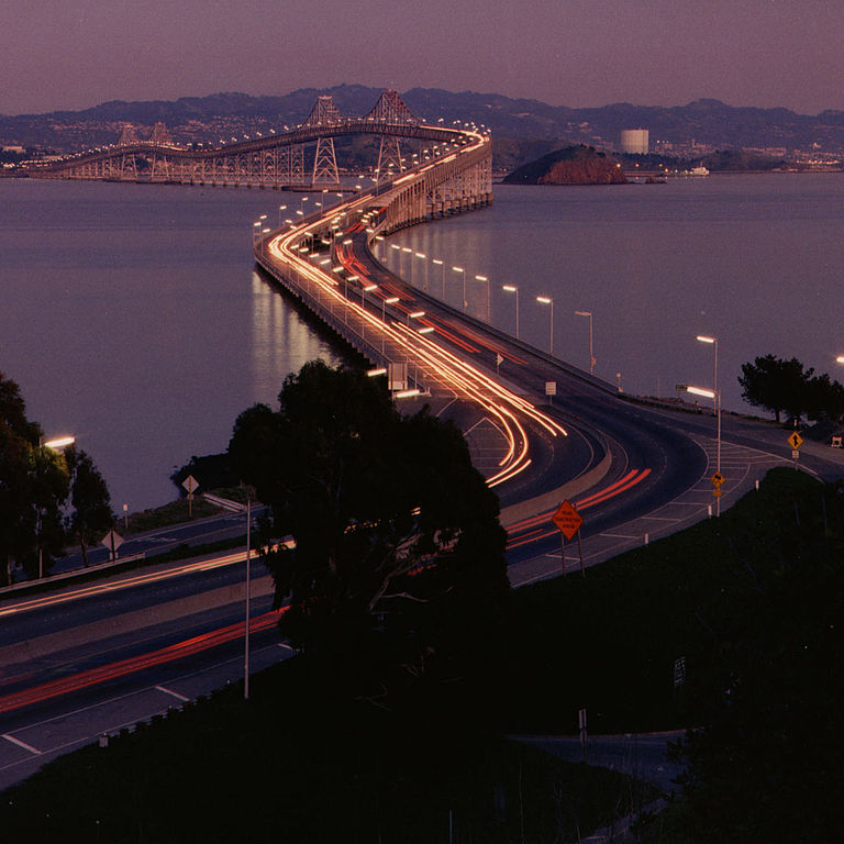
| Priskribo | Richmond-San Rafael Bridge facing east. | ||||||
| Fonto | http://www.dot.ca.gov/hq/traffops/hwybrdg/tollbridge/History/richmond.html | ||||||
| Aŭtoro | Caltrans staff | ||||||
| Permeso (Reuzo de la dosiero) |
From the Caltrans web site is this posting:
There is no indication that this is a copyrighted work that requires additional permission.
|


| Pozicio de la fotilo | | Tiu cxi bildo kaj pliaj sur OpenStreetMap |
|---|
Dosierhistorio
Alklaku iun daton kaj horon por vidi kiel la dosiero tiam aspektis.
| Dato/Horo | Bildeto | Grandecoj | Uzanto | Komento | |
|---|---|---|---|---|---|
| nun | 22:18, 26 jul. 2006 | | 1 200 × 1 200 (197 KB) | WikiLeon | {{Information |Description= |Source=http://www.dot.ca.gov/hq/traffops/hwybrdg/tollbridge/History/richmond.html |Date= |Author= |Permission=From the Caltrans [http://www.caltrans.ca.gov web site] is [http://www.caltrans.ca.gov/conditions.htm this posting]: |
Dosiera uzado
La jena paĝo ligas al ĉi tiu dosiero:
Suma uzado de la dosiero
La jenaj aliaj vikioj utiligas ĉi tiun dosieron:
- Uzado en ar.wikipedia.org
- Uzado en bg.wikipedia.org
- Uzado en de.wikipedia.org
- Uzado en el.wikipedia.org
- Uzado en en.wikipedia.org
- Uzado en es.wikipedia.org
- Uzado en fr.wikipedia.org
- Uzado en nl.wikipedia.org
- Uzado en pl.wikipedia.org
- Uzado en www.wikidata.org