
Dosiero:Seattle - Whittier Heights map.jpg

Grandeco de ĉi antaŭvido: 382 × 599 rastrumeroj. Aliaj distingivoj: 153 × 240 rastrumeroj | 504 × 790 rastrumeroj.
Bildo en pli alta difino ((504 × 790 rastrumeroj, grandeco de dosiero: 68 KB, MIME-tipo: image/jpeg))
| Jen dosiero de la Wikimedia-Komunejo. La priskribo en ties priskriba paĝo estas montrata suben.
|
Resumo
| Priskribo |
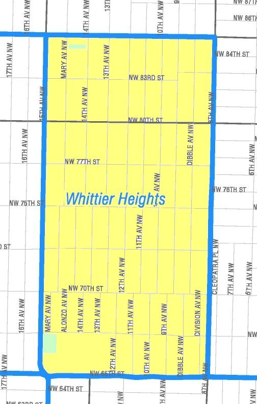
English: Map of the Whittier Heights portion of Seattle's Ballard neighborhood. Like the other maps from the Seattle City Clerk's Neighborhood Map Atlas, this is not an official map; in particular, borders are not official.
|
|
| Dato | Retrieved from Seattle City Clerk's Neighborhood Map Atlas | |
| Fonto | Whittier Heights, map NN-1173L from Seattle City Clerk's Neighborhood Map Atlas. | |
| Aŭtoro | Office of the Seattle City Clerk | |
| Permeso (Reuzo de la dosiero) |
PD-Seattle-Neighborhood-Atlas. |
Permesiloj:
| This file is in the public domain because it is part of the Seattle Neighborhood Atlas, which the Seattle Clerk's Office has placed in the public domain.
While these maps are used by the clerk's office as a way to increase consistency in their own use of geographic names, the atlas is "not designed or intended as an 'official' City of Seattle neighborhood map, and has no official status." (See About Maps, Seattle Clerk's Office.) |

|
| This work has been released into the public domain by its copyright holder, Seattle Clerk's Office. This applies worldwide. En iuj landoj tio povas esti laŭleĝe neebla; en tiu okazo: Seattle Clerk's Office donas al iu ajn la rajton uzi ĉi tiun verkon por iu ajn uzo, sen kondiĉoj, krom se tiuj kondiĉoj deviĝas per leĝo.
|
Dosierhistorio
Alklaku iun daton kaj horon por vidi kiel la dosiero tiam aspektis.
| Dato/Horo | Bildeto | Grandecoj | Uzanto | Komento | |
|---|---|---|---|---|---|
| nun | 05:52, 27 apr. 2011 | | 504 × 790 (68 KB) | Jmabel | == {{int:filedesc}} == {{Information |Description={{en|Map of the Whittier Heights portion of Seattle's Ballard neighborhood. Like the other maps from the Seattle City Clerk's Neighborhood Map Atlas, this is ''not'' an official map; in particular, borders |
Dosiera uzado
Neniu paĝo ligas al ĉi tiu dosiero.
Suma uzado de la dosiero
La jenaj aliaj vikioj utiligas ĉi tiun dosieron:
- Uzado en en.wikipedia.org
- Uzado en es.wikipedia.org