
Dosiero:South Africa Free State location map.svg

Grando de tiu PNG antaŭprezento de tiu SVGa dosiero: 672 × 599 rastrumeroj. Aliaj distingivoj: 269 × 240 rastrumeroj | 538 × 480 rastrumeroj | 861 × 768 rastrumeroj | 1 148 × 1 024 rastrumeroj | 2 296 × 2 048 rastrumeroj | 1 130 × 1 008 rastrumeroj.
Bildo en pli alta difino (SVG-dosiero, 1 130 × 1 008 rastrumeroj, grandeco de dosiero: 286 KB)
| Jen dosiero de la Wikimedia-Komunejo. La priskribo en ties priskriba paĝo estas montrata suben.
|
Resumo
| Priskribo |
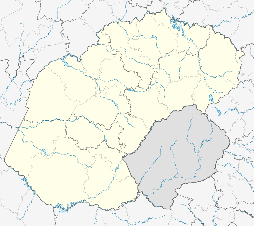
English: Location map of the Free State
Equirectangular projection, N/S stretching 114%. Geographic limits of the map:
|
| Dato | |
| Fonto |
|
| Aŭtoro | Htonl |
| Permeso (Reuzo de la dosiero) |
Mi, la posedanto de la aŭtorrajto por ĉi tiu verko, ĉi-maniere publikigas tiun laŭ la jena permesilo: Ĉi tiu dosiero estas disponebla laŭ la permesilo Krea Komunaĵo Atribuite-Samkondiĉe 3.0 Neadaptita.
|
| Ceteraj versioj | File:South Africa Free State relief location map.svg, File:Blank map of the Free State (2011).svg |
.svg)
Dosierhistorio
Alklaku iun daton kaj horon por vidi kiel la dosiero tiam aspektis.
| Dato/Horo | Bildeto | Grandecoj | Uzanto | Komento | |
|---|---|---|---|---|---|
| nun | 23:54, 5 jan. 2013 | | 1 130 × 1 008 (286 KB) | Htonl | == {{int:filedesc}} == {{Information |Description ={{en|Location map of the en:Free State Equirectangular projection, N/S stretching 114%. Geographic limits of the map: * N: 26.5° S * S: 31° S * W: 24.25° E * E: 30° E}} |Source = *... |
Dosiera uzado
La jenaj paĝoj ligas al ĉi tiu dosiero:
Suma uzado de la dosiero
La jenaj aliaj vikioj utiligas ĉi tiun dosieron:
- Uzado en af.wikipedia.org
- Bloemfontein
- Kroonstad
- Sasolburg
- Welkom
- Parys, Vrystaat
- Philippolis
- Bultfontein
- Trompsburg
- Rouxville
- Bethulie
- Bethlehem, Vrystaat
- Clarens, Vrystaat
- Fouriesburg
- Paul Roux
- Reitz
- Senekal
- Harrismith
- Kestell
- Lindley
- Wepener
- Golden Gate-Hoogland- Nasionale Park
- Clocolan
- Marquard
- Vrede, Vrystaat
- Memel, Vrystaat
- Arlington, Vrystaat
- Petrus Steyn
- Frankfort
- Villiers
- Cornelia
- Phuthaditjhaba
- Warden
- Ladybrand
- Ficksburg
- Rosendal
- Swinburne
- Tweeling, Vrystaat
- Zastron
- Excelsior, Vrystaat
- Hoopstad
- Sjabloon:Inligtingskas Nedersetting
- Jacobsdal
- Verkeerdevlei
- Winburg
- Botshabelo
- Vredefort
- Bothaville
- Jagersfontein
- Brandfort
- Koffiefontein
Vidi plian ĝeneralan uzadon de ĉi tiu dosiero.