
Dosiero:Bingöl districts.png

Grandeco de ĉi antaŭvido: 776 × 600 rastrumeroj. Aliaj distingivoj: 311 × 240 rastrumeroj | 621 × 480 rastrumeroj | 994 × 768 rastrumeroj | 1 056 × 816 rastrumeroj.
Bildo en pli alta difino ((1 056 × 816 rastrumeroj, grandeco de dosiero: 24 KB, MIME-tipo: image/png))
| Jen dosiero de la Wikimedia-Komunejo. La priskribo en ties priskriba paĝo estas montrata suben.
|
Resumo
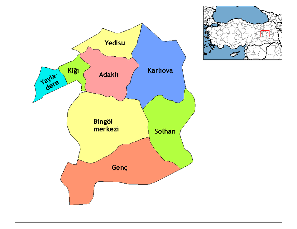
| Priskribo | Map of the districts of Bingöl province in Turkey. Created by Rarelibra 18:56, 1 December 2006 (UTC) for public domain use, using MapInfo Professional v8.5 and various mapping resources. Edited by One Homo Sapiens Corrected text where İ,Ş,ı,ğ,or ş occurs in name. Source: [statoids-com]. Increased font size and enhanced color differences among adjacent districts. |
| Dato | la 31-a de marto 2007 (origina alŝuta dato) |
| Fonto | Nenia maŝinlegebla fonto disponigita. Oni supozas, ke estas propra verko, bazante sur kopirajtaj asertoj. |
| Aŭtoro | Nenia maŝinlegebla fonto disponigita. Oni supozas, ke Denizz~commonswiki verkis ĝin, bazante sur kopirajtaj asertoj. |
Permesiloj:
| Mi, la posedanto de la aŭtorrajto por ĉi tiu verko, liberigas ĝin tutmonde kiel publikan havaĵon. En iuj landoj tio povas esti laŭleĝe neebla; en tiu okazo: Mi rajtigas ĉiun ajn uzi ĉi tiun verkon por ajna celo, sen iuj ajn kondiĉoj, krom se tiuj kondiĉoj estas postulataj per leĝo. |
Dosierhistorio
Alklaku iun daton kaj horon por vidi kiel la dosiero tiam aspektis.
| Dato/Horo | Bildeto | Grandecoj | Uzanto | Komento | |
|---|---|---|---|---|---|
| nun | 21:10, 28 dec. 2008 | | 1 056 × 816 (24 KB) | One Homo Sapiens | Corrected text where İ,Ş,ı,ğ,or ş occurs in name. Source: [statoids-com]. Increased font size and enhanced color differences among adjacent districts. |
| 06:50, 31 mar. 2007 |  | 1 056 × 816 (25 KB) | Denizz~commonswiki | == Summary == Map of the districts of Bingol province in Turkey. Created by Rarelibra 18:56, 1 December 2006 (UTC) for public domain use, using MapInfo Professional v8.5 and various mapping resources. == Licensing == {{PD-self}} <!-- |
Dosiera uzado
La jena paĝo ligas al ĉi tiu dosiero:
Suma uzado de la dosiero
La jenaj aliaj vikioj utiligas ĉi tiun dosieron:
- Uzado en ast.wikipedia.org
- Uzado en ca.wikipedia.org
- Uzado en cs.wikipedia.org
- Uzado en de.wikipedia.org
- Yayladere
- Kiğı
- Yedisu
- Vorlage:Navigationsleiste Landkreise der Provinz Bingöl
- Adaklı
- Bingöl
- Genç (Bingöl)
- Karlıova
- Solhan (Türkei)
- Çatalkaya
- Dallıca
- Eskikavak
- Güneyağıl
- Kutluca
- Demirdöş
- Yorgançayır
- Yazgünü
- Açıkgüney
- Ağaçöven
- Alınyazı
- Aşağıserinyer
- Aşağıyağmurlu
- Aydınlar (Yayladere)
- Batıayaz
- Çalıkağıl
- Çayağzı
- Dalbasan
- Doğucak
- Gökçedal
- Günlük
- Haktanır
- Kalkanlı
- Kırköy
- Korlu
- Vorlage:Navigationsleiste Ortschaften im Landkreis Yayladere
- Sarıtosun
- Sürmelikoç (Yayladere)
- Yavuztaş
- Yaylabağ
- Zeynelli
- Vorlage:Navigationsleiste Ortschaften im Landkreis Kiğı
- Baklalı
- Bilekkaya
- Güneşlik
- Çiçektepe
- Darköprü
- Demirkanat
Vidi plian ĝeneralan uzadon de ĉi tiu dosiero.