
Dosiero:Danube delta satelite.png
Grandeco de ĉi antaŭvido: 796 × 599 rastrumeroj. Aliaj distingivoj: 319 × 240 rastrumeroj | 638 × 480 rastrumeroj | 1 020 × 768 rastrumeroj | 1 280 × 964 rastrumeroj | 2 560 × 1 928 rastrumeroj | 2 720 × 2 048 rastrumeroj.
Bildo en pli alta difino ((2 720 × 2 048 rastrumeroj, grandeco de dosiero: 11,57 MB, MIME-tipo: image/png))
| Jen dosiero de la Wikimedia-Komunejo. La priskribo en ties priskriba paĝo estas montrata suben.
|
Resumo
| Priskribo |
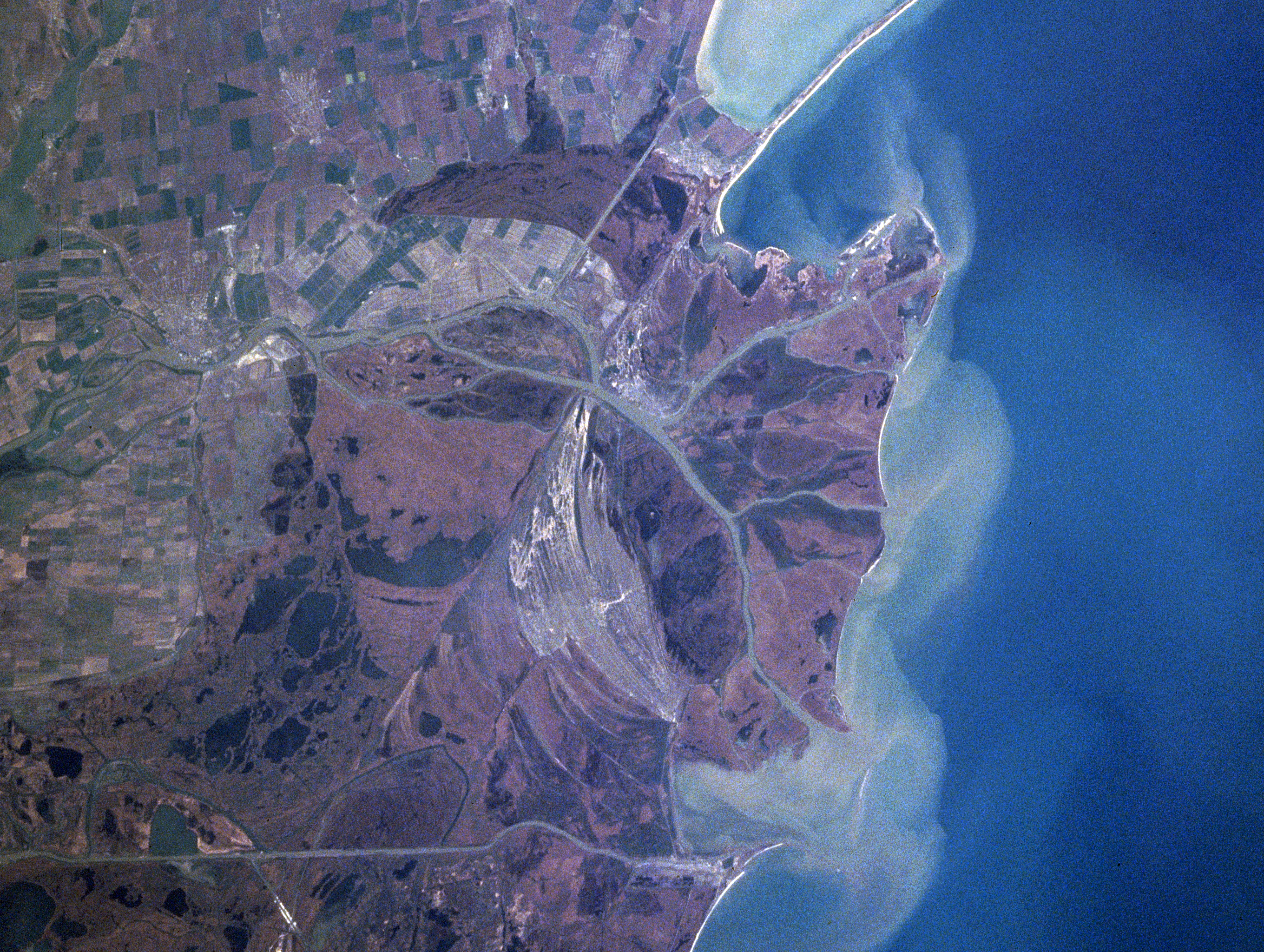
Español: Sector septentrional del delta del Danubio. Se aprecian los sedimentos en suspensión con que se constituye
Foto de satélite (NASA) English: Danube River Delta, Romania/Ukraine Winter/Spring 1998
|
| Dato | Fotita je la 16-a de aprilo 1998, 12:15:20 UTC |
| Fonto | https://eol.jsc.nasa.gov/searchphotos/photo.pl?mission=NASA7&roll=720&frame=006 |
| Aŭtoro | NASA/Mir astronaut |
This image or video was catalogued by one of the centers of the United States National Aeronautics and Space Administration (NASA) under Photo ID: NASA7-720-6. This tag does not indicate the copyright status of the attached work. A normal copyright tag is still required. See Commons:Licensing. Other languages:
|
Permesiloj:
| La ĉi-supra dosiero estas publika havaĵo, ĉar ĝi apartenas al NASA. La kopirajta regularo de NASA asertas, ke "ĉiuj dokumentoj de NASA estas publika havaĵo, se ne estas donata kontraŭa deklaro". | ||
 |
Atentu:
|
Dosierhistorio
Alklaku iun daton kaj horon por vidi kiel la dosiero tiam aspektis.
| Dato/Horo | Bildeto | Grandecoj | Uzanto | Komento | |
|---|---|---|---|---|---|
| nun | 22:06, 3 feb. 2021 | | 2 720 × 2 048 (11,57 MB) | Ras67 | high resolution |
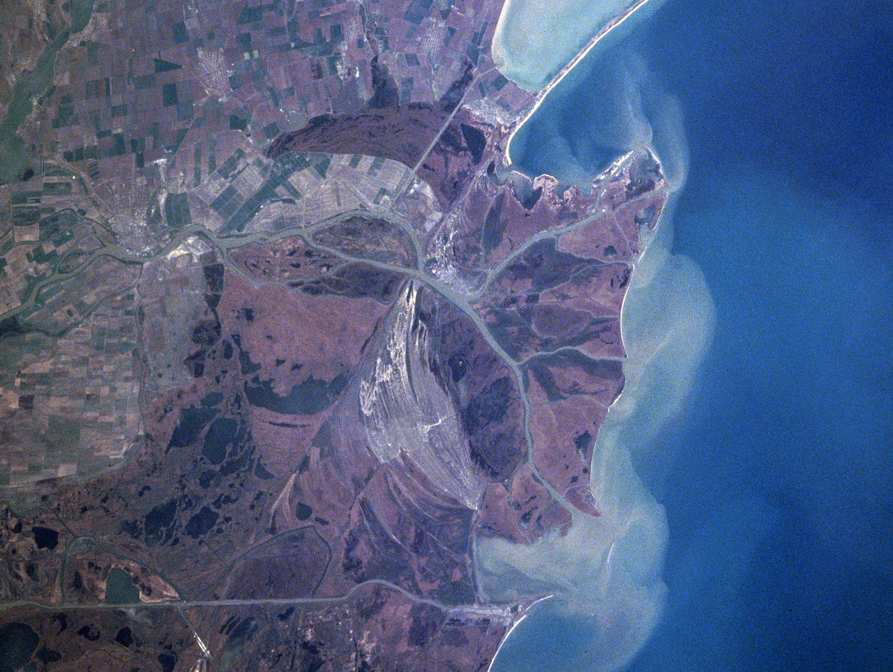
| 01:41, 13 jun. 2005 |  | 322 × 243 (43 KB) | Shizhao | Danube Delta satellite photo, source: http://earth.jsc.nasa.gov/sseop/efs/caption.pl?PHOTO=NASA7-720-6 {{PD-USGov-NASA}} |
Dosiera uzado
La jena paĝo ligas al ĉi tiu dosiero:
Suma uzado de la dosiero
La jenaj aliaj vikioj utiligas ĉi tiun dosieron:
- Uzado en ast.wikipedia.org
- Uzado en bg.wikipedia.org
- Uzado en ca.wikipedia.org
- Uzado en da.wikipedia.org
- Uzado en en.wikipedia.org
- Uzado en en.wikivoyage.org
- Uzado en es.wikivoyage.org
- Uzado en fr.wikipedia.org
- Uzado en is.wikipedia.org
- Uzado en it.wikipedia.org
- Uzado en ja.wikipedia.org
- Uzado en ko.wikipedia.org
- Uzado en li.wikipedia.org
- Uzado en lt.wikipedia.org
- Uzado en nl.wikipedia.org
- Uzado en nn.wikipedia.org
- Uzado en oc.wikipedia.org
- Uzado en pt.wikipedia.org
- Uzado en scn.wikipedia.org
- Uzado en sh.wikipedia.org
- Uzado en simple.wikipedia.org
- Uzado en sk.wikipedia.org
- Uzado en sv.wikipedia.org
- Uzado en uk.wikipedia.org
- Uzado en vi.wikipedia.org
- Uzado en www.wikidata.org
- Uzado en zh.wikipedia.org