
Dosiero:Mapa loc Maule.svg

Bildo en pli alta difino (SVG-dosiero, 400 × 600 rastrumeroj, grandeco de dosiero: 1,17 MB)
| Jen dosiero de la Wikimedia-Komunejo. La priskribo en ties priskriba paĝo estas montrata suben.
|
| Priskribo |
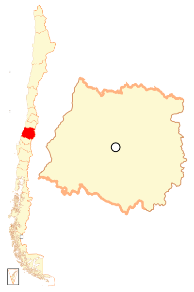
Español: Mapa localizador de la VII Región del Maule |
| Dato | |
| Fonto | Propra verko |
| Aŭtoro | B1mbo |
| Permeso (Reuzo de la dosiero) |
Mi, la posedanto de la aŭtorrajto por ĉi tiu verko, ĉi-maniere publikigas tiun laŭ la jena permesilo: Ĉi tiu dosiero estas disponebla laŭ la permesilo Krea Komunaĵo Atribuite-Samkondiĉe 2.5 Ĝenerala.
|
| Legal disclaimer
The edition and circulation of maps, geographic charts and other documents about the boundaries and frontiers of Chile, don't have any relation with the Republic of Chile, according to the Article 2 g) of DFL Nº83 of 1979 of the Ministery of Foreign Affairs. La edición y circulación de mapas, cartas geográficas y otros documentos sobre los límites y fronteras de Chile no tienen relación alguna con la República de Chile de acuerdo al artículo 2 g) del DFL Nº83 de 1979 del Ministerio de Relaciones Exteriores. |
Dosierhistorio
Alklaku iun daton kaj horon por vidi kiel la dosiero tiam aspektis.
| Dato/Horo | Bildeto | Grandecoj | Uzanto | Komento | |
|---|---|---|---|---|---|
| nun | 22:45, 5 sep. 2018 | | 400 × 600 (1,17 MB) | Janitoalevic | Ñuble Region |
| 23:16, 20 aŭg. 2017 |  | 400 × 600 (1,04 MB) | Janitoalevic | Reverted to version as of 03:22, 13 November 2007 (UTC) | |
| 04:28, 20 aŭg. 2017 |  | 400 × 600 (1,1 MB) | Janitoalevic | Added Ñuble Region | |
| 03:22, 13 nov. 2007 |  | 400 × 600 (1,04 MB) | B1mbo | {{Information |Description= {{es|Mapa localizador de la VII Región del Maule}} |Source=own work |Date=12 de noviembre, 2007 |Author=B1mbo |Permission={{self|cc-by-sa-2.5}} |other_versions= }} {{User:B1mbo/Chil |
Dosiera uzado
La jena paĝo ligas al ĉi tiu dosiero:
Suma uzado de la dosiero
La jenaj aliaj vikioj utiligas ĉi tiun dosieron:
- Uzado en ba.wikipedia.org
- Uzado en bg.wikipedia.org
- Uzado en da.wikipedia.org
- Uzado en de.wikipedia.org
- Uzado en en.wikipedia.org
- Maule Region
- Parral, Chile
- Talca Province
- Linares, Chile
- Talca
- Teno
- Curicó Province
- Curicó
- Battle of Cancha Rayada (1818)
- Molina, Chile
- Cauquenes
- Constitución, Chile
- San Javier, Chile
- Linares Province
- Villa Alegre, Chile
- Pelluhue
- Chanco, Chile
- Cauquenes Province
- Colbún
- Yerbas Buenas
- Longaví
- Retiro, Chile
- San Clemente, Chile
- Hualañé
- Curepto
- Pencahue
- Empedrado, Chile
- Río Claro
- Pelarco
- Vichuquén
- Sagrada Familia, Chile
- Licantén
- Rauco
- Romeral
- San Rafael, Chile
- Maule, Chile
- Template:Communes in Maule Region
- Uzado en es.wikipedia.org
Vidi plian ĝeneralan uzadon de ĉi tiu dosiero.