
Dosiero:Countries with autonomous regions.png

Grandeco de ĉi antaŭvido: 800 × 351 rastrumeroj. Aliaj distingivoj: 320 × 140 rastrumeroj | 640 × 281 rastrumeroj | 1 425 × 625 rastrumeroj.
Bildo en pli alta difino ((1 425 × 625 rastrumeroj, grandeco de dosiero: 37 KB, MIME-tipo: image/png))
| Jen dosiero de la Wikimedia-Komunejo. La priskribo en ties priskriba paĝo estas montrata suben.
|
Resumo
| Priskribo |
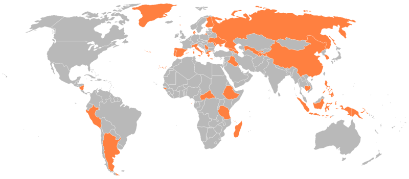
English: Countries with an autonomous region. |
| Dato | |
| Fonto |
en:Image:Countries with autonomous regions.png Originally uploaded 21:09, 9 January 2008 (UTC) by Genjix (talk • contribs) to en:Wikipedia (log). |
| Aŭtoro | en:User:Genjix |
| Permeso (Reuzo de la dosiero) |
{{PD-user-en}} |
Permesiloj:
| Ĉi tiu verko estis liberigita kiel publika havaĵo de ties aŭtoro, Genjix de angla Vikipedio. Tio aplikatas tutmonde. En iuj landoj tio povas esti laŭleĝe neebla; en tiu okazo: Genjix donas al iu ajn la rajton uzi ĉi tiun verkon por iu ajn uzo, sen kondiĉoj, krom se tiuj kondiĉoj deviĝas per leĝo. |
Dosierhistorio
Alklaku iun daton kaj horon por vidi kiel la dosiero tiam aspektis.
| Dato/Horo | Bildeto | Grandecoj | Uzanto | Komento | |
|---|---|---|---|---|---|
| nun | 20:05, 30 apr. 2016 | | 1 425 × 625 (37 KB) | Janitoalevic | Colored Faroe Islands |
| 20:00, 30 apr. 2016 |  | 1 425 × 625 (37 KB) | Janitoalevic | Original size and colors | |
| 03:39, 30 apr. 2016 |  | 1 918 × 1 020 (146 KB) | Bettyreategui | Imagen equivocada, mi error | |
| 03:36, 30 apr. 2016 |  | 1 918 × 1 020 (146 KB) | Bettyreategui | El Perú tiene a su capital y la ciudad del Callao como ciudades con elevación de regiones | |
| 20:25, 5 feb. 2012 |  | 1 425 × 625 (54 KB) | Mapmaster | Colors were passed (Rusdsian Islands and West part of New Guinea) | |
| 20:22, 5 feb. 2012 |  | 1 425 × 625 (54 KB) | Mapmaster | The Russian Islands and the Indonesian Part of New Guinea were colored. | |
| 16:01, 26 aŭg. 2008 |  | 1 425 × 625 (31 KB) | RsAzevedo | {{Information |Description={{en|1=Countries with an autonomous region.}} |Source=en:Image:Countries_with_autonomous_regions.png |Author=en:User:Genjix |Date= |Permission= |other_versions= }} <!--{{ImageUpload|full}}--> |
Dosiera uzado
Neniu paĝo ligas al ĉi tiu dosiero.