
Dosiero:Reliefkarte Freiburg blank.png
Grandeco de ĉi antaŭvido: 542 × 599 rastrumeroj. Aliaj distingivoj: 217 × 240 rastrumeroj | 434 × 480 rastrumeroj | 695 × 768 rastrumeroj | 926 × 1 024 rastrumeroj | 1 840 × 2 034 rastrumeroj.
Bildo en pli alta difino ((1 840 × 2 034 rastrumeroj, grandeco de dosiero: 3,52 MB, MIME-tipo: image/png))
| Jen dosiero de la Wikimedia-Komunejo. La priskribo en ties priskriba paĝo estas montrata suben.
|
| Priskribo |
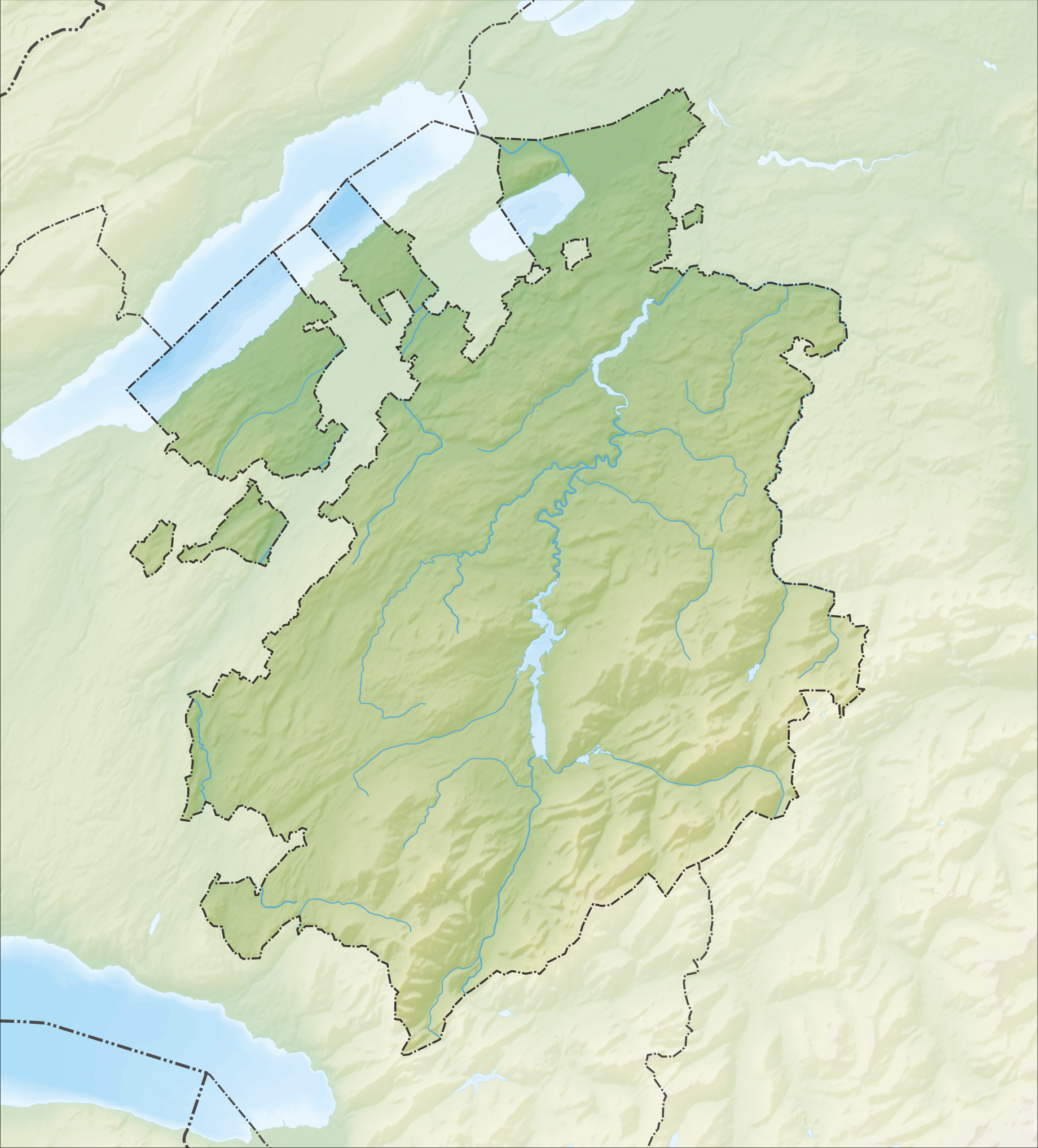
Deutsch: Reliefkarte des Kantons Freiburg
Topographischer Hintergrund: NASA Shuttle Radar Topography Mission (public domain). SRTM3 v.2. |
||||||||
| Dato | |||||||||
| Fonto | Propra verko | ||||||||
| Aŭtoro | Tschubby | ||||||||
| Permeso (Reuzo de la dosiero) |
Mi, la posedanto de la aŭtorrajto por ĉi tiu verko, ĉi-maniere publikigas ĝin laŭ la jenaj permesiloj:
Ĉi tiu dosiero estas disponebla laŭ la permesiloj Krea Komunaĵo Atribuite-Samkondiĉe 2.5 Ĝenerala, 2.0 Ĝenerala kaj 1.0 Ĝenerala.
Vi povas elekti la permesilon preferatan. |
||||||||
| Ceteraj versioj |
 |

Dosierhistorio
Alklaku iun daton kaj horon por vidi kiel la dosiero tiam aspektis.
| Dato/Horo | Bildeto | Grandecoj | Uzanto | Komento | |
|---|---|---|---|---|---|
| nun | 15:34, 5 dec. 2013 | | 1 840 × 2 034 (3,52 MB) | Tschubby | {{Information |Description= {{de| Reliefkarte des Kantons Freiburg}} Topographischer Hintergrund: [http://www2.jpl.nasa.gov/srtm NASA Shuttle Radar Topography Mission] (public domain). SRTM3 v.2. |Source={{own}} |Date= 2013-12-05 |Author= [[:de:User:Ts... |
Dosiera uzado
La jenaj paĝoj ligas al ĉi tiu dosiero:
- Albeuve (stacidomo)
- Allières (stacidomo)
- Belfaux-Village (stacidomo)
- Belfaux CFF (stacidomo)
- Bossonnens (stacidomo)
- Broc-Fabrique (stacidomo)
- Broc-Village (stacidomo)
- Bulle (stacidomo)
- Cheyres (stacidomo)
- Châtel-St-Denis (stacidomo)
- Chénens (stacidomo)
- Cottens FR (stacidomo)
- Courtepin (stacidomo)
- Cousset (stacidomo)
- Cressier FR (stacidomo)
- Cugy FR (stacidomo)
- Domdidier (stacidomo)
- Dompierre FR (stacidomo)
- Düdingen (stacidomo)
- Ecublens-Rue (stacidomo)
- Enney (stacidomo)
- Estavayer-le-Lac (stacidomo)
- Flamatt (stacidomo)
- Flamatt Dorf (stacidomo)
- Fribourg-Freiburg (stacidomo)
- Fribourg-Freiburg Poya (stacidomo)
- Fräschels (stacidomo)
- Galmiz (stacidomo)
- Gimnazio Sankta Kruco
- Givisiez (stacidomo)
- Grolley (stacidomo)
- Gruyères (stacidomo)
- Katedralo Sankta Nikolao (Friburgo)
- Kerzers (stacidomo)
- Kerzers Papiliorama (stacidomo)
- La Tour-de-Trême (stacidomo)
- La Tour-de-Trême Ronclina (stacidomo)
- La Verrerie (stacidomo)
- Lago de Grejerco
- Lago de Schiffenen
- Le Pâquier-Montbarry (stacidomo)
- Les Cases (stacidomo)
- Les Sciernes (stacidomo)
- Lessoc (stacidomo)
- Léchelles (stacidomo)
- Matran (stacidomo)
- Monaĥejo Hauterive
- Montbovon (stacidomo)
- Muntelier-Löwenberg (stacidomo)
- Murten-Morat (stacidomo)
- Neirivue (stacidomo)
- Neyruz FR (stacidomo)
- Pensier (stacidomo)
- Remaufens (stacidomo)
- Romont FR (stacidomo)
- Rosé (stacidomo)
- Schmitten FR (stacidomo)
- Semsales (stacidomo)
- Siviriez (stacidomo)
- Sugiez (stacidomo)
- Universitato de Friburgo
- Vauderens (stacidomo)
- Vaulruz-Nord (stacidomo)
- Vaulruz-Sud (stacidomo)
- Villars-sous-Mont (stacidomo)
- Villars-sur-Glâne (stacidomo)
- Villaz-St-Pierre (stacidomo)
- Vuadens-Sud (stacidomo)
- Wünnewil (stacidomo)
- Ŝablono:Situo sur mapo Svislando Friburgo
Suma uzado de la dosiero
La jenaj aliaj vikioj utiligas ĉi tiun dosieron:
- Uzado en de.wikipedia.org
- Moléson
- Schwarzsee (See im Kanton Freiburg)
- Greyerzersee
- Mont Vully
- Schiffenensee
- Vanil d’Arpille
- Lac de Montsalvens
- Pérolles-See
- Cousimbert
- Glâne (Fluss)
- Gibloux (Berg)
- Papiliorama
- Jaunbach
- Arbogne
- Vanil Noir
- Liste von Burgen und Schlössern in der Schweiz
- Berra (Berg)
- Gastlosen
- Kaiseregg
- Vauderens-Tunnel
- Île d’Ogoz
- Schloss Greyerz
- Wikipedia:Kartenwerkstatt/Positionskarten/Europa
- Flugplatz Gruyères
- Sendeturm Mont-Gibloux
- Dent de Brenleire
- Vanil Carré
- Schwyberg
- Vorlage:Positionskarte Schweiz Freiburg
- Ölbergwerk
- Flugplatz Ecuvillens
- Schloss Löwenberg (Murten)
- Möösliturm
- Dent de Lys
- Breccaschlund
- Javro
- Schopfenspitz
- Benutzer:Tschubby/Reliefkarten
- Vanil des Artses
- Col de Lys
- Schloss Murten
- Schloss Pont
- Schloss Attalens
- Burgruine Illens
- Burgruine Arconciel
- Schloss Romont
- Schloss Vaulruz
- Schloss Chenaux
- Schloss Surpierre
- Burgruine Montagny-les-Monts
Vidi plian ĝeneralan uzadon de ĉi tiu dosiero.